

Geospatial skills.
Proven in practice.
Solve real GIS problems with real data. Build your skills in Python, spatial SQL, analysis and system design—then show what you can do.
The work is the proof.
A brief, a dataset, a decision to make. Every challenge tells you what the result must do. Run your analysis to explore it; submit when you’re ready to have it graded.
Find your first challenge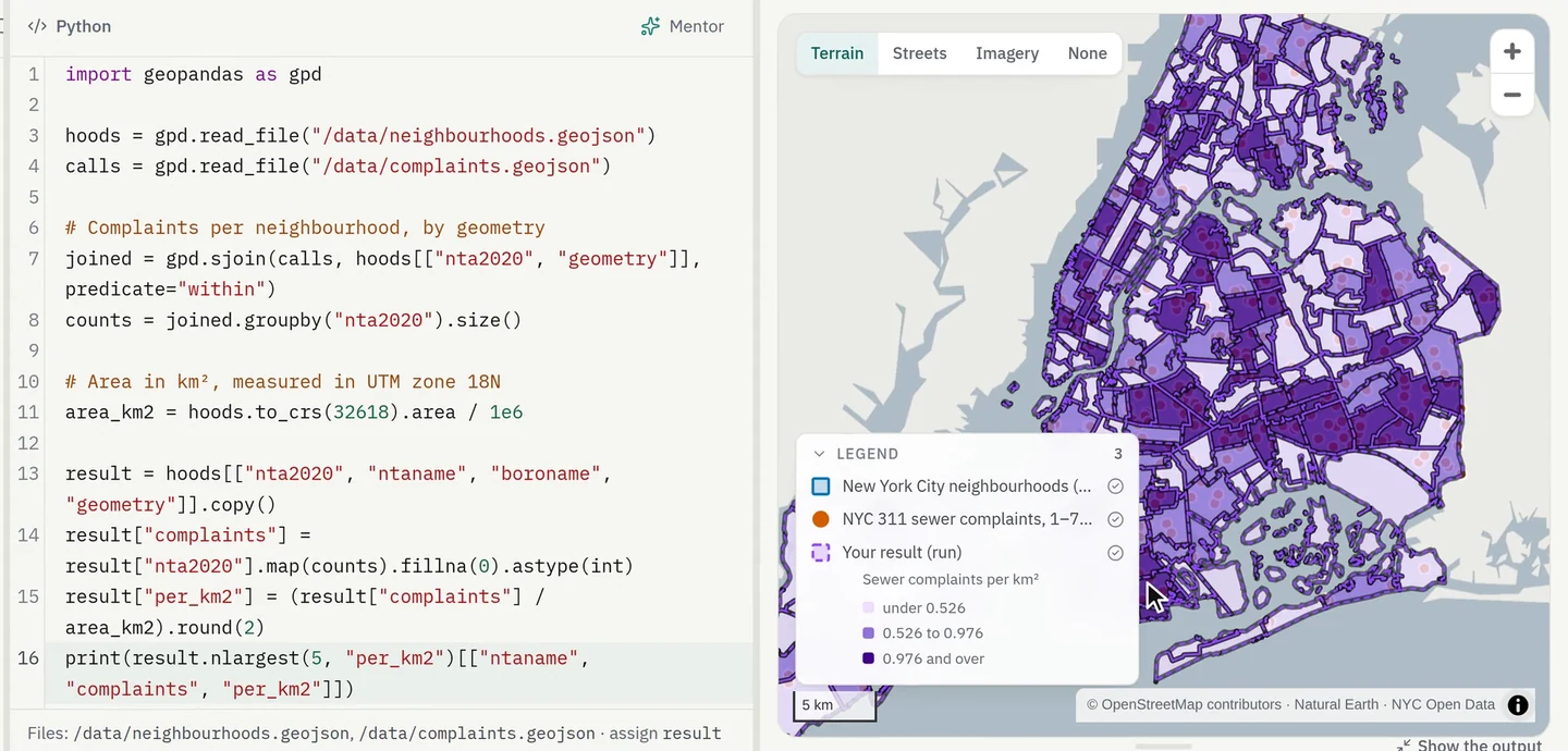
A clear path from learning to doing.
Build one skill on top of the next. Follow a sequence of practical challenges, see where you left off and work towards an outcome you can demonstrate.
Explore learning paths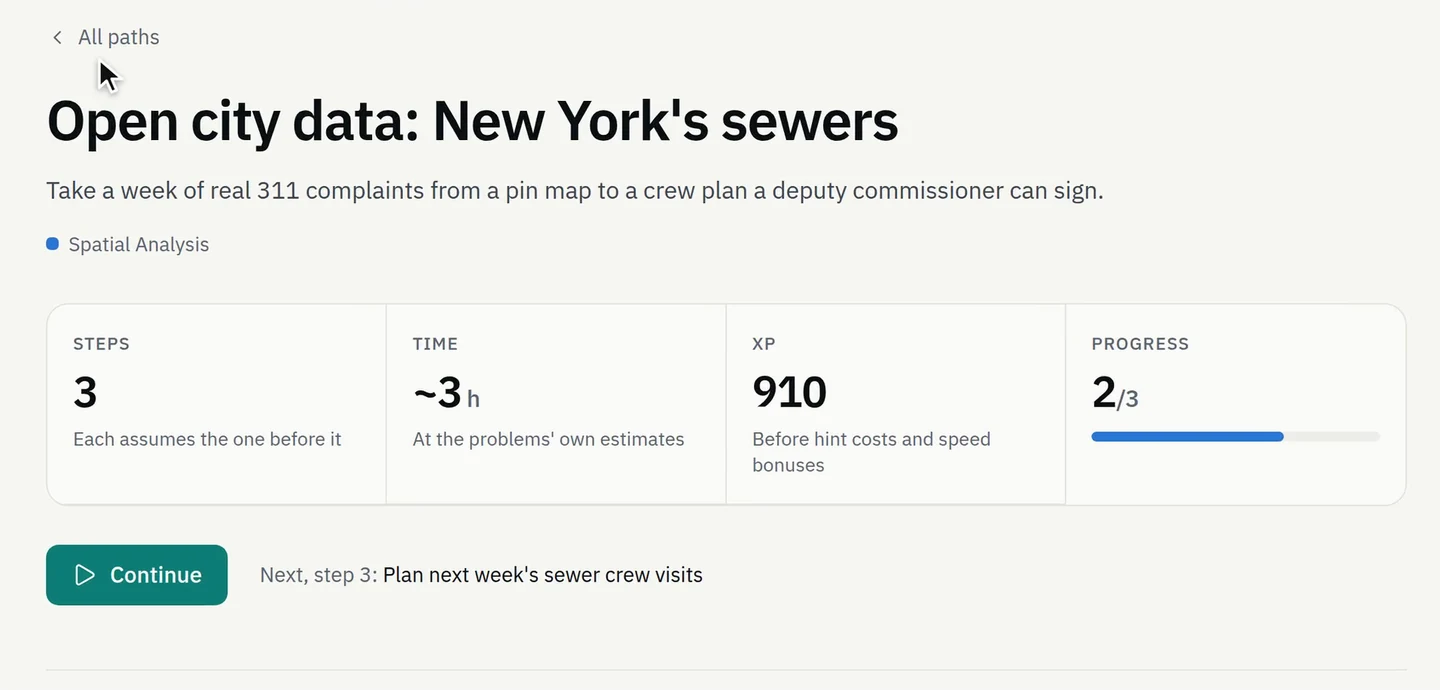
Go beyond the single exercise.
Take on a complete GIS assignment. Inspect the data, connect several stages of analysis and produce the deliverables a real brief calls for.
Browse real-world projects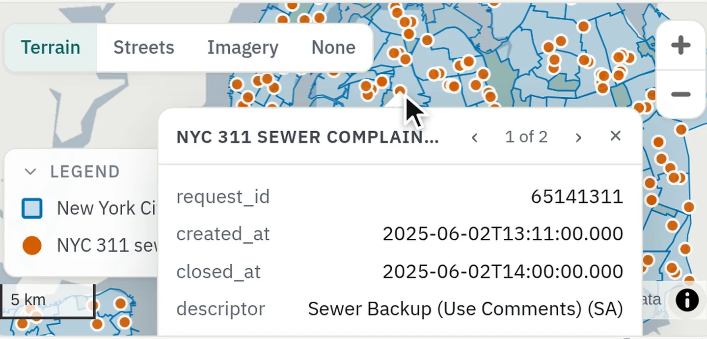
Put your skills to the test.
Take a timed assessment in the same practical workspace, on problems written for the assessment—never ones anybody could have practised. The paper opens when the clock starts; pass a qualifying assessment and earn a credential anyone can verify.
Find an assessment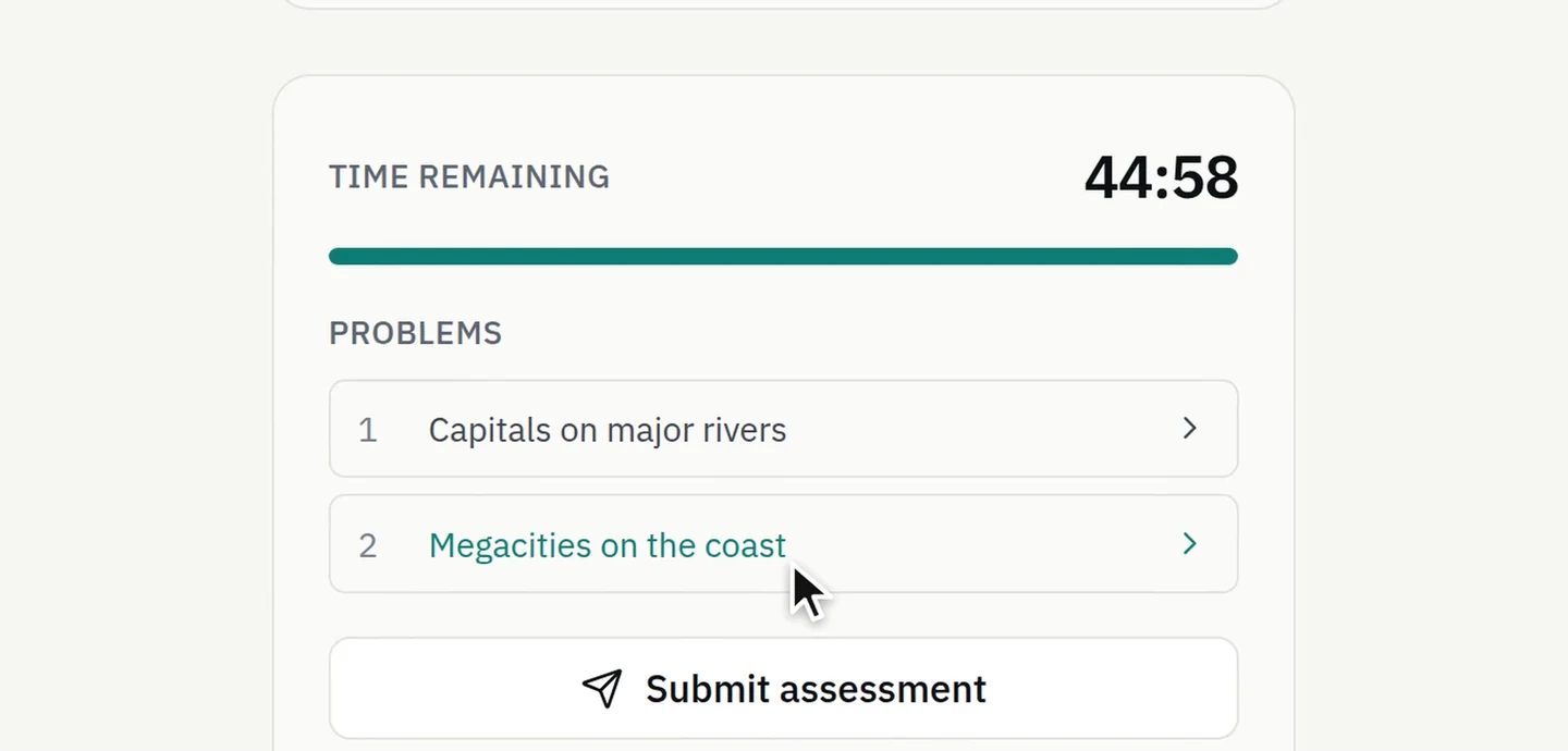
Give your class real work to learn from.
Bring challenges into your teaching. Create a classroom, choose the work from the catalogue, set a deadline and follow completion—all in the environment your students use to practise. Free for up to 3 classes of 30 students.
Create a classroom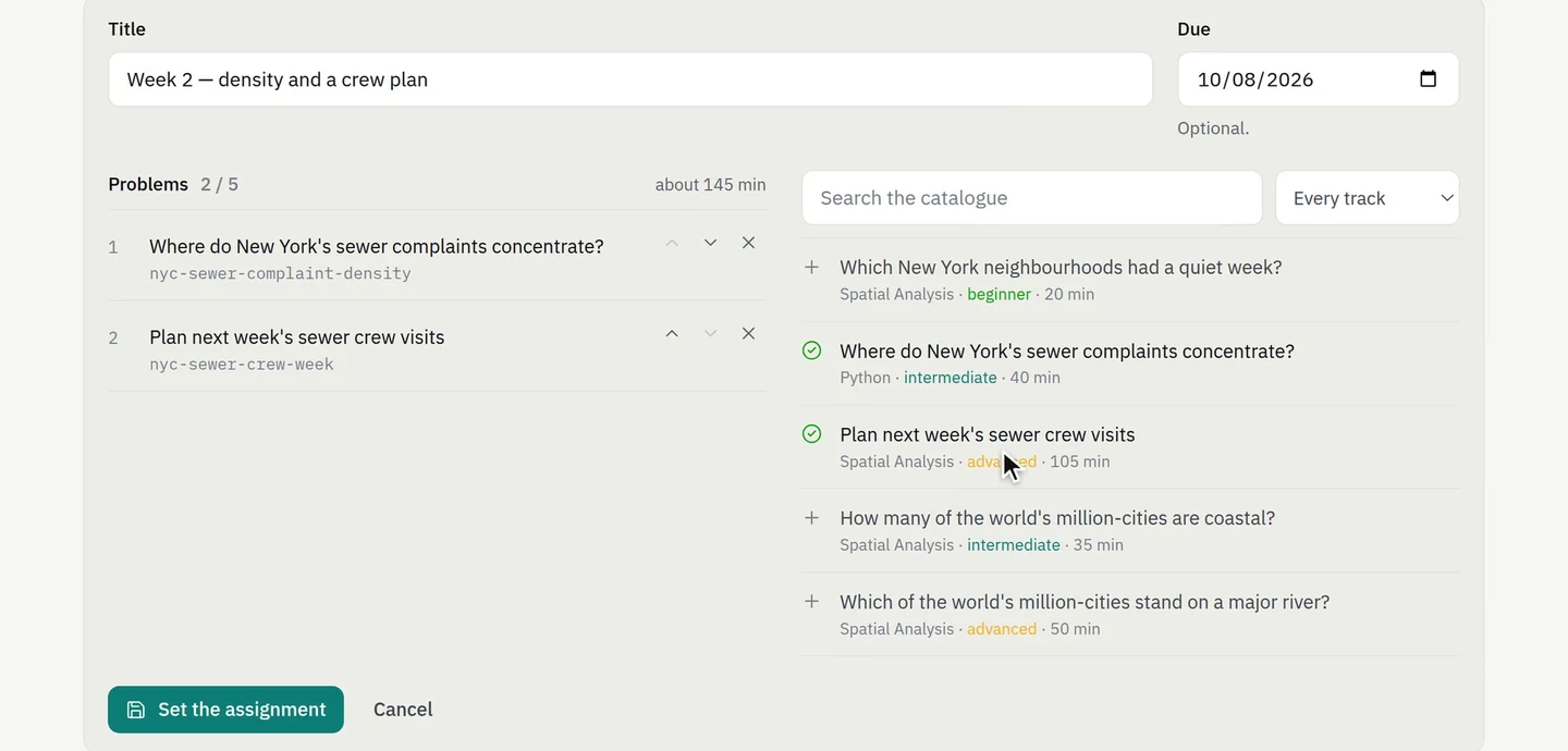
Hire for the work.
Develop the people.
Team workspaces are opening by request. Tell us the roles you hire or train for and the data you work with, and we’ll set yours up—private challenges on your own data, assessments you assemble and the submitted work to review.
Your data stays private. Company datasets and challenges stay within your workspace.
Clear requirements, useful evidence. Review submissions against the skills the role needs.
Let your work speak for you.
Share a public profile that brings together your solved challenges, skill ratings, learning progress and credentials. A record of what you’ve done, ready for your next opportunity.
Build your profile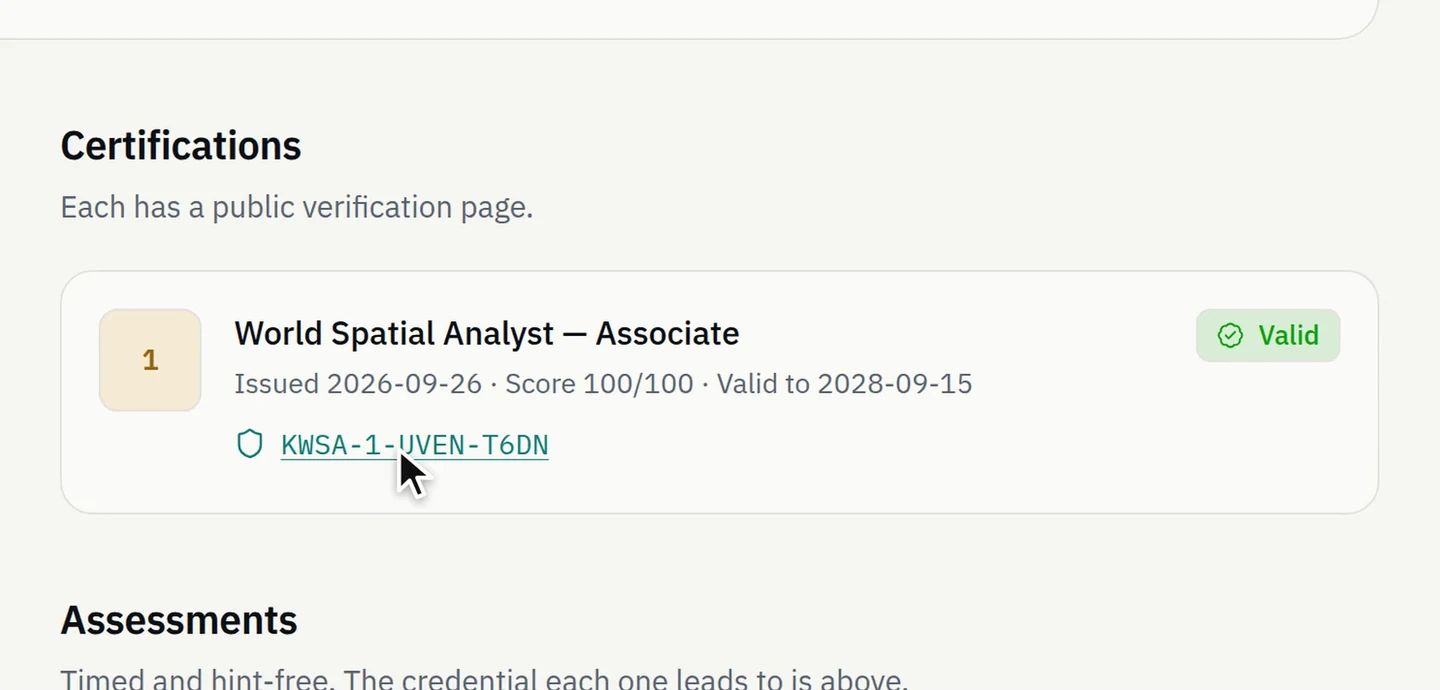
Your next challenge starts here.
Explore the catalogueRepair a field table so a Paris health directory can map its pharmacy locations reliably.
Recover zero-padded stop identifiers before a transport timetable join.
Separate a frequently refreshed spatial overview from authoritative event details and revision history.