

Import a dataset
Bring your own layers into the workspace: checked before they are kept, private, and readable by a candidate only while they sit a test that uses them.
Updated
Team workspaces are opened on request. Ask for one; this is how it works once yours is open.
What you can import
- GeoJSON, a zipped Shapefile (the whole set, in one zip), KML or KMZ, GPX, or CSV.
- A CSV needs a WKT geometry column —
wkt,geom,geometry,the_geomorshape— or a longitude and latitude pair. - Up to 8 MB and 50,000 features a file. GeoPackage cannot be imported here yet.
Import it
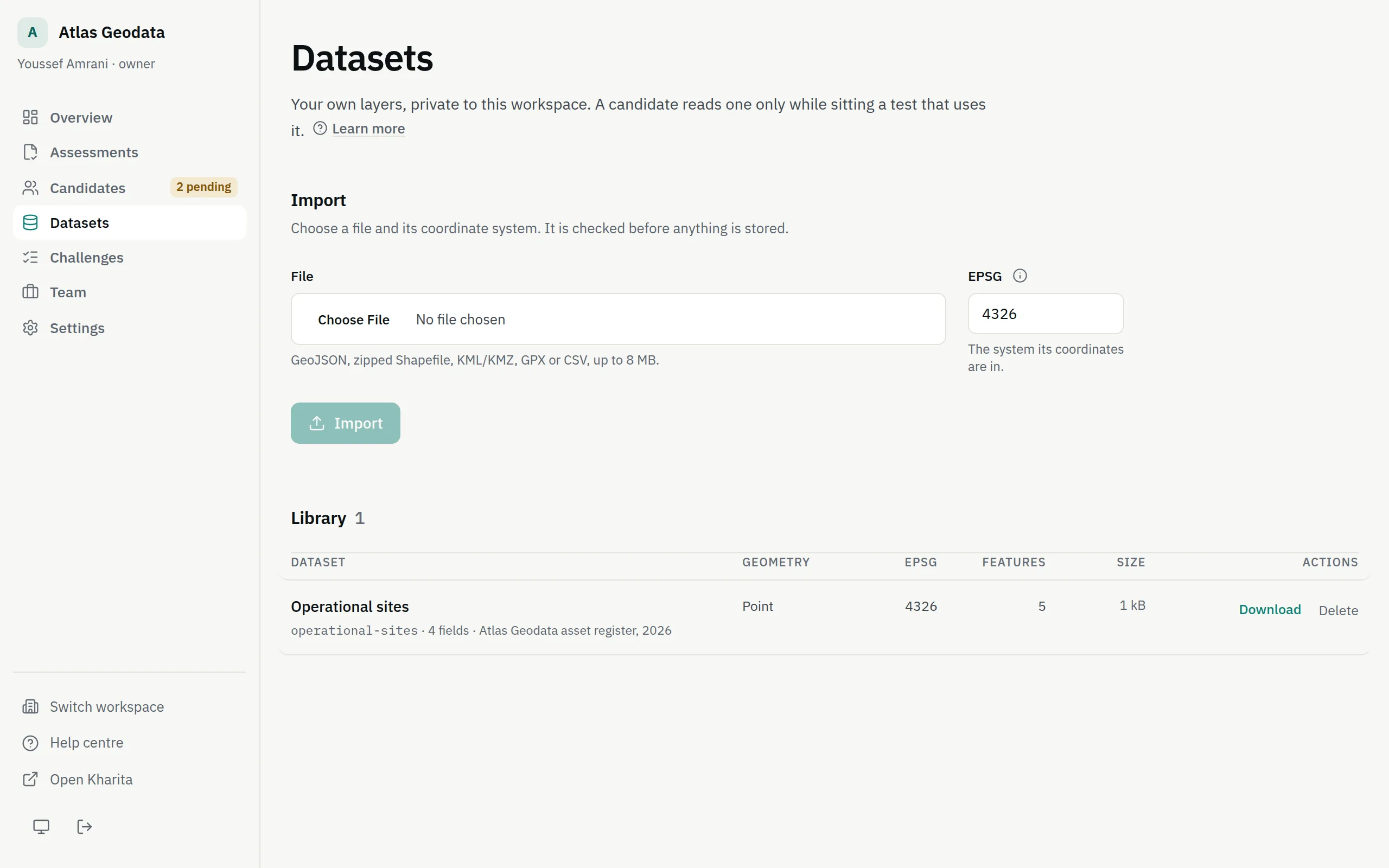
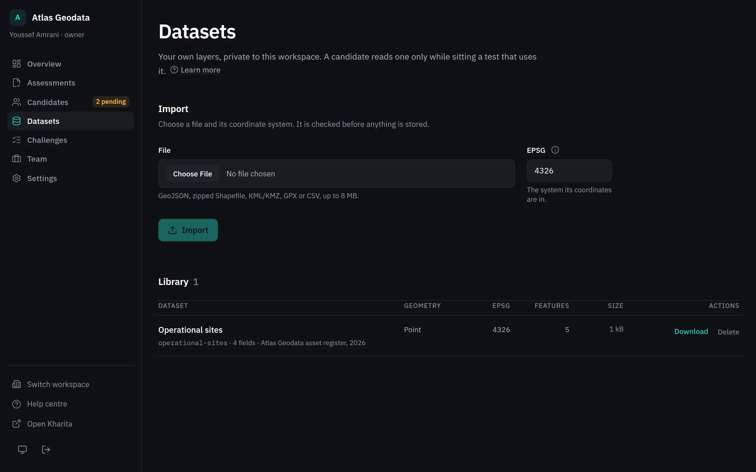
Step 1: Open Datasets and choose the File. Owners and admins import data.
Step 2: Set EPSG to the coordinate system the file's coordinates are in: 4326 for longitude and latitude. A zipped Shapefile that carries its .prj is read into degrees, so declare 4326 for it.
Step 3: Read the check: Valid or Rejected, the schema it found, and any warnings.
Step 4: Fill in Name, Slug — how a challenge refers to it — Source and Licence, then press Import.
When a file is refused
The coordinates are checked against the system you declare. Declaring 4326 for numbers that are clearly metres is refused — declare the projected EPSG instead, or reproject the file — and so are latitude and longitude the wrong way round. A file whose numbers cannot be in the declared system would give every candidate a confidently wrong answer key.
Who can read it
A dataset is never public. Members of the workspace can download it; a candidate can read it only while sitting an assessment that uses it, and only until the clock or their invitation runs out.
Delete asks you to type the slug, and is refused while a problem uses the dataset — detach it there first.
Related
Still stuck? Write to Support